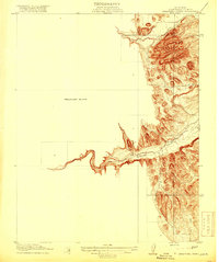
1919 Map of Orestimba Creek
USGS Topo · Published 1919About this map
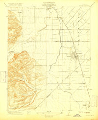
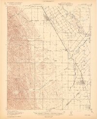
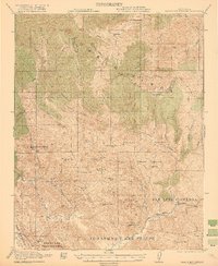
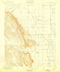
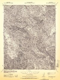
Orestimba Creek and Crow Creek wind through the hills of Stanislaus County in this preliminary topographic study. Surveyed in 1915 under the direction of Geo. R. Davis and R. B. Marshall, this edition highlights the intricate canyon systems and high ridges that characterize the eastern slopes of the Diablo Range before they descend into the valley floor. The map’s focus on the sharp relief along these watercourses illustrates the geological complexity of the area, providing a detailed look at the drainage patterns and elevation contours that shaped early land use in the region. This particular sheet, a cooperation between the U.S. Geological Survey and the State of California, captures the terrain in its raw form before extensive modern development altered the surrounding watershed.
Find a feature on this map
3 named features on this map. Tap any name to fly to it.
Don’t see what you’re looking for? This feature index may not catch every label — zoom into the map to look around manually.
Map Details
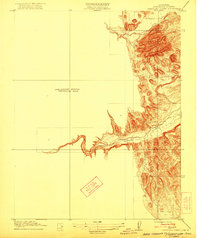
Editions of this 1919 Orestimba Creek Map
2 editions found
Other maps of this area
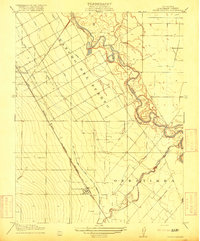
1916 · Crows Landing
USGS Topo · 1:31,680
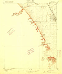
1916 · Patterson
USGS Topo · 1:31,680
1917 · Newman
USGS Topo · 1:31,680
1919 · Orestimba
USGS Topo · 1:62,500

1920 · Pacheco Pass
USGS Topo · 1:62,500
1921 · Gilroy Hot Springs
USGS Topo · 1:62,500
1922 · Howard Ranch
USGS Topo · 1:31,680
1938 · Mt. Boardman
USGS Topo · 1:62,500

1939 · Gilroy Hot Springs
USGS Topo · 1:62,500

1940 · Gilroy Hot Springs
USGS Topo · 1:62,500