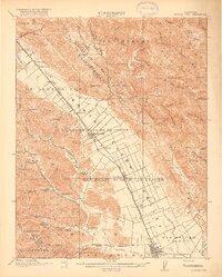
1917 Map of Morgan Hill
USGS Topo · Published 1917About this map
The Santa Clara Valley is captured here in a period of agricultural development, dominated by the linear path of the Southern Pacific RR and the burgeoning community at Morgan Hill. In this era before widespread suburbanization, the landscape is defined by vast land grants like San Francisco De Las Llagas and Ojo De Agua De La Coche, with the town of San Martin and the village of Madrone serving as central hubs for rural life. To the west, the Santa Cruz Mountains rise sharply, dotted with isolated landmarks such as Redwood Retreat and Mt Madonna. The map reveals a network of country schools, including Encinal School and Adams School, which anchored the scattered farmsteads of Paradise Valley. Notable infrastructure of the time, such as the Gilroy Waterworks Dam on Uvas Creek, reflects the early management of water in this productive valley long before the arrival of modern reservoirs.
Find a feature on this map
86 named features on this map. Tap any name to fly to it.
Don’t see what you’re looking for? This feature index may not catch every label — zoom into the map to look around manually.
Map Details
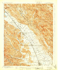
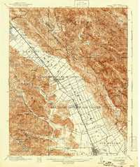
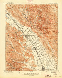
Editions of this 1917 Morgan Hill Map
5 editions found
Other maps of this area

1889 · San Jose
USGS Topo · 1:62,500

1897 · San Jose
USGS Topo · 1:62,500

1897 · Mt. Hamilton
USGS Topo · 1:62,500

1899 · San Jose
USGS Topo · 1:62,500

1912 · Capitola
USGS Topo · 1:62,500

1914 · Capitola
USGS Topo · 1:62,500

1915 · San Juan Bautista
USGS Topo · 1:48,000

1916 · New Almaden
USGS Topo · 1:48,000

1917 · Morgan Hill
USGS Topo · 1:62,500

1917 · San Juan Bautista
USGS Topo · 1:62,500