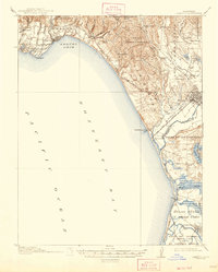
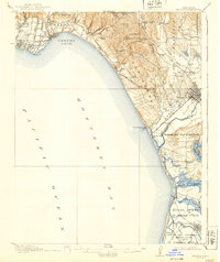
1914 Map of Capitola
USGS Topo · Published 1947About this map
The central California coast along Monterey Bay reveals a landscape defined by expansive Spanish land grants and a burgeoning rail-and-river economy in the years before World War I. Prominent rancho boundaries such as Bolsa Nueva y Moro Cojo and Laguna de las Calabasas dominate the interior, while the coastal strip shows the early development of Capitola and Aptos. The intricate network of sloughs, including Harkins Slough and Watsonville Slough, converges near the mouth of the Pajaro River, illustrating the complex drainage of the fertile valley floor around Watsonville.
Find a feature on this map
67 named features on this map. Tap any name to fly to it.
Don’t see what you’re looking for? This feature index may not catch every label — zoom into the map to look around manually.
Map Details
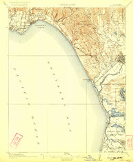
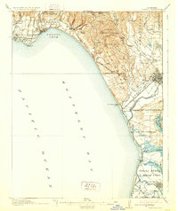
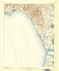
Editions of this 1914 Capitola Map
6 editions found
Other maps of this area

1902 · Santa Cruz
USGS Topo · 1:125,000

1910 · Salinas
USGS Topo · 1:31,680

1912 · Salinas
USGS Topo · 1:62,500

1912 · Capitola
USGS Topo · 1:62,500

1913 · Monterey
USGS Topo · 1:62,500

1914 · Capitola
USGS Topo · 1:62,500

1915 · San Juan Bautista
USGS Topo · 1:48,000

1916 · New Almaden
USGS Topo · 1:48,000

1917 · Morgan Hill
USGS Topo · 1:62,500

1917 · San Juan Bautista
USGS Topo · 1:62,500