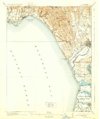
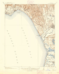
1914 Map of Capitola
USGS Topo · Published 1929About this map
The crescent of Soquel Cove and the northern reaches of Monterey Bay define this coastal landscape during a period of established rail transport and agricultural development. The Southern Pacific railroad tracks trace the shoreline, connecting seaside communities like Capitola, Aptos, and Manresa with the industrial and transit hub of Watsonville. Inland, the terrain is partitioned by Spanish land grant boundaries including Shoquel, Aptos, and Corralitos, reflecting the deep-rooted Mexican land system that preceded American settlement.
Find a feature on this map
64 named features on this map. Tap any name to fly to it.
Don’t see what you’re looking for? This feature index may not catch every label — zoom into the map to look around manually.
Map Details
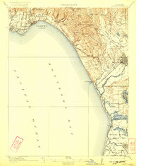
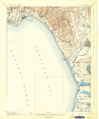
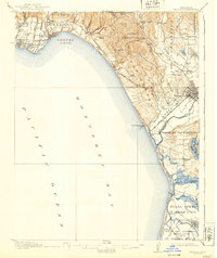
Editions of this 1914 Capitola Map
6 editions found
Other maps of this area

1902 · Santa Cruz
USGS Topo · 1:125,000

1910 · Salinas
USGS Topo · 1:31,680

1912 · Salinas
USGS Topo · 1:62,500

1912 · Capitola
USGS Topo · 1:62,500

1913 · Monterey
USGS Topo · 1:62,500

1914 · Capitola
USGS Topo · 1:62,500

1915 · San Juan Bautista
USGS Topo · 1:48,000

1916 · New Almaden
USGS Topo · 1:48,000

1917 · Morgan Hill
USGS Topo · 1:62,500

1917 · San Juan Bautista
USGS Topo · 1:62,500