
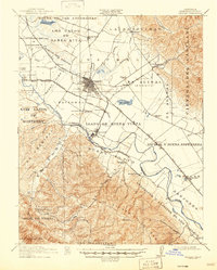
1912 Map of Salinas
USGS Topo · Published 1912About this map
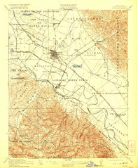
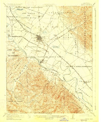
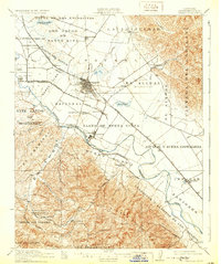
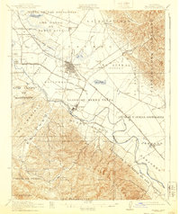
The agrarian expansion of the Monterey region is captured here shortly after the turn of the century, centered on the growing hub of Salinas. The landscape is a patchwork of historic land grants, such as Llano de Buena Vista and El Alisal (Hartnell), reflecting the area's transition from Spanish-Mexican ranchos to intensive commercial agriculture. This industrial shift is best exemplified by the presence of Spreckels along the Salinas River, a company town established to support the local sugar beet industry.
Find a feature on this map
65 named features on this map. Tap any name to fly to it.
Don’t see what you’re looking for? This feature index may not catch every label — zoom into the map to look around manually.
Map Details
Editions of this 1912 Salinas Map
6 editions found
Other maps of this area

1910 · Gonzales
USGS Topo · 1:31,680

1910 · Salinas
USGS Topo · 1:31,680

1910 · Soledad
USGS Topo · 1:31,680

1912 · Capitola
USGS Topo · 1:62,500

1913 · Monterey
USGS Topo · 1:62,500

1914 · Capitola
USGS Topo · 1:62,500

1915 · Soledad
USGS Topo · 1:62,500

1915 · San Juan Bautista
USGS Topo · 1:48,000

1917 · San Juan Bautista
USGS Topo · 1:62,500

1918 · Point Sur
USGS Topo · 1:62,500