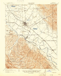
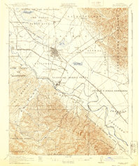
1912 Map of Salinas
USGS Topo · Published 1947About this map
The Salinas city grid and the surrounding agricultural valleys are preserved here during the early twentieth century, showing a landscape still heavily defined by Mexican land grant boundaries such as Nacional, Llano de Buena Vista, and Rincon del Zanjon. The Salinas River and its accompanying sloughs wind through the valley floor, supporting settlements like the sugar-beet hub of Spreckels and the junction at Confederate Corners.
Find a feature on this map
69 named features on this map. Tap any name to fly to it.
Don’t see what you’re looking for? This feature index may not catch every label — zoom into the map to look around manually.
Map Details
Editions of this 1912 Salinas Map
6 editions found
Other maps of this area

1910 · Gonzales
USGS Topo · 1:31,680

1910 · Salinas
USGS Topo · 1:31,680

1910 · Soledad
USGS Topo · 1:31,680

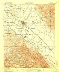
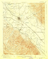
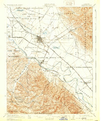
1912 · Salinas
USGS Topo · 1:62,500

1912 · Capitola
USGS Topo · 1:62,500

1913 · Monterey
USGS Topo · 1:62,500

1914 · Capitola
USGS Topo · 1:62,500

1915 · Soledad
USGS Topo · 1:62,500

1915 · San Juan Bautista
USGS Topo · 1:48,000

1917 · San Juan Bautista
USGS Topo · 1:62,500