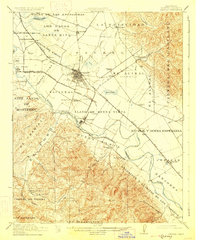
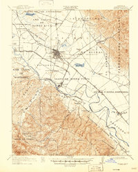
1912 Map of Salinas
USGS Topo · Published 1928About this map
The agricultural heart of the Salinas Valley is defined here by a dense network of early 20th-century irrigation and transport, centered on the growing hub of Salinas. The landscape is a complex patchwork of historic Spanish and Mexican land grants, including La Natividad, Llano de Buena Vista, and Corral de Tierra, which dictated property lines and settlement patterns long after California statehood. The Salinas River and its accompanying sloughs, such as Alisal Slough, support a productive corridor where the Southern Pacific RR and the Pajaro Valley Consolidated RR move goods between towns like Spreckels and Chualar. Cultural landmarks of the era are frequent, from Hartnell College near the base of the Cienega del Gabilan to local rural centers like Confederate Corners and Old Hilltown. Numerous small country schools, including Blanco School and Washington School, dot the valley floor and the foothills of El Toro, marking the era's established rural communities.
Find a feature on this map
62 named features on this map. Tap any name to fly to it.
Don’t see what you’re looking for? This feature index may not catch every label — zoom into the map to look around manually.
Map Details
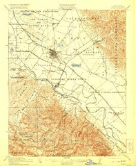
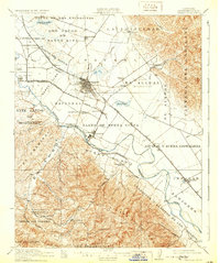
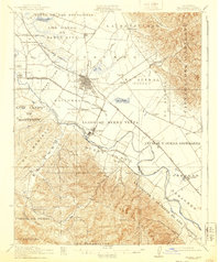
Editions of this 1912 Salinas Map
6 editions found
Other maps of this area

1910 · Gonzales
USGS Topo · 1:31,680

1910 · Salinas
USGS Topo · 1:31,680

1910 · Soledad
USGS Topo · 1:31,680

1912 · Salinas
USGS Topo · 1:62,500

1912 · Capitola
USGS Topo · 1:62,500

1913 · Monterey
USGS Topo · 1:62,500

1914 · Capitola
USGS Topo · 1:62,500

1915 · Soledad
USGS Topo · 1:62,500

1915 · San Juan Bautista
USGS Topo · 1:48,000

1917 · San Juan Bautista
USGS Topo · 1:62,500