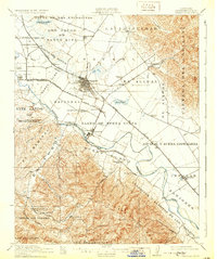
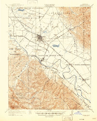
1912 Map of Salinas
USGS Topo · Published 1931About this map
The Salinas Valley's agricultural and transit corridors are preserved in this pre-war survey, centered on the growing hub of Salinas. Extensive land grant boundaries, such as Llano de Buena Vista and El Alisal (Bernal), reveal the region's transition from Spanish-era ranchos to a specialized industrial landscape. The influence of the local sugar beet industry is evident in the development of Spreckels near the Salinas River, while a network of rural schools including Blanco School, El Sausal School, and Lincoln School serve the outlying farming communities.
Find a feature on this map
64 named features on this map. Tap any name to fly to it.
Don’t see what you’re looking for? This feature index may not catch every label — zoom into the map to look around manually.
Map Details
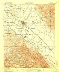
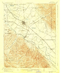
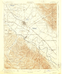
Editions of this 1912 Salinas Map
6 editions found
Other maps of this area

1910 · Gonzales
USGS Topo · 1:31,680

1910 · Salinas
USGS Topo · 1:31,680

1910 · Soledad
USGS Topo · 1:31,680

1912 · Salinas
USGS Topo · 1:62,500

1912 · Capitola
USGS Topo · 1:62,500

1913 · Monterey
USGS Topo · 1:62,500

1914 · Capitola
USGS Topo · 1:62,500

1915 · Soledad
USGS Topo · 1:62,500

1915 · San Juan Bautista
USGS Topo · 1:48,000

1917 · San Juan Bautista
USGS Topo · 1:62,500