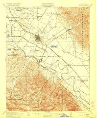
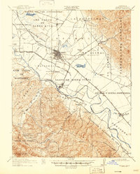
1912 Map of Salinas
USGS Topo · Published 1921About this map
The agricultural heart of the Salinas Valley unfolds along the Salinas River in this 1912 survey, revealing a landscape defined by expansive Spanish and Mexican land grants such as La Natividad, El Alisal, and Nacional. The city of Salinas stands as the primary hub, where the Southern Pacific RR intersects with the local narrow-gauge Pajaro Valley Consolidated RR. This rail network was vital to the valley’s early 20th-century economy, connecting the sugar beet factory town of Spreckels and various shipping points like Spence and Chualar.
Find a feature on this map
64 named features on this map. Tap any name to fly to it.
Don’t see what you’re looking for? This feature index may not catch every label — zoom into the map to look around manually.
Map Details
Editions of this 1912 Salinas Map
6 editions found
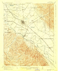
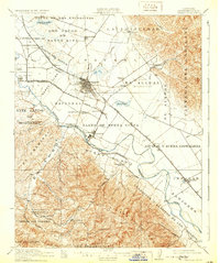
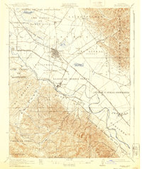
Other maps of this area

1910 · Gonzales
USGS Topo · 1:31,680

1910 · Salinas
USGS Topo · 1:31,680

1910 · Soledad
USGS Topo · 1:31,680

1912 · Salinas
USGS Topo · 1:62,500

1912 · Capitola
USGS Topo · 1:62,500

1913 · Monterey
USGS Topo · 1:62,500

1914 · Capitola
USGS Topo · 1:62,500

1915 · Soledad
USGS Topo · 1:62,500

1915 · San Juan Bautista
USGS Topo · 1:48,000

1917 · San Juan Bautista
USGS Topo · 1:62,500