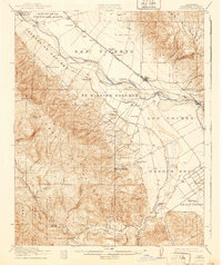
1915 Map of Soledad
USGS Topo · Published 1940About this map
Mission Soledad (Ruins) serves as a historic anchor for this Salinas Valley landscape, which shows the region's agricultural and industrial development in the early twentieth century. The Southern Pacific railroad corridor connects the settlements of Soledad, Camphora, and Molus, facilitating the movement of goods from the valley floor. The influence of the local sugar industry is visible through the extensive Spreckels Canal system, while an Oil Pumping Plant near Stonewall Canyon points to the area's mineral resources.
Find a feature on this map
42 named features on this map. Tap any name to fly to it.
Don’t see what you’re looking for? This feature index may not catch every label — zoom into the map to look around manually.
Map Details
Editions of this 1915 Soledad Map
4 editions found
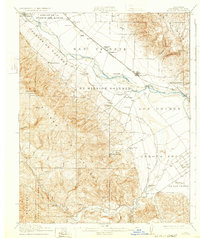
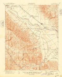
Other maps of this area

1910 · Gonzales
USGS Topo · 1:31,680

1910 · Salinas
USGS Topo · 1:31,680

1910 · Soledad
USGS Topo · 1:31,680

1912 · Salinas
USGS Topo · 1:62,500

1912 · Metz
USGS Topo · 1:31,680

1915 · Soledad
USGS Topo · 1:62,500

1919 · King City
USGS Topo · 1:62,500

1919 · San Benito
USGS Topo · 1:62,500

1919 · Junipero Serra
USGS Topo · 1:62,500

1920 · Jamesburg
USGS Topo · 1:48,000