
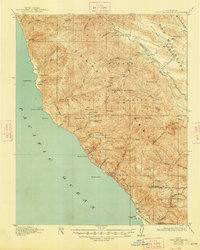
1921 Map of Cape San Martin
USGS Topo · Published 1921About this map
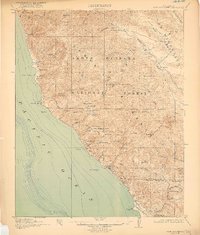
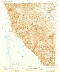
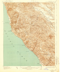
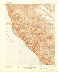
Mining operations and family ranching dominate the slopes of the Los Burros Range on this coastline surveyed during the 1910s. The remote Big Sur interior, largely encompassed by the Santa Barbara National Forest, shows a distinct pattern of small-scale resource extraction and isolated homesteads. Industrial activity is centered around the Los Burros Mine, Melville Mine, and Buglimo Mine, while the southern reaches of the map include the W.R. Hearst Foremans Headquarters near the San Luis Obispo County line.
Find a feature on this map
70 named features on this map. Tap any name to fly to it.
Don’t see what you’re looking for? This feature index may not catch every label — zoom into the map to look around manually.
Map Details
Editions of this 1921 Cape San Martin Map
6 editions found
Other maps of this area

1919 · King City
USGS Topo · 1:62,500

1919 · Junipero Serra
USGS Topo · 1:62,500

1919 · Bryson
USGS Topo · 1:62,500

1919 · Piedras Blancas
USGS Topo · 1:62,500

1919 · San Simeon
USGS Topo · 1:62,500

1921 · Lucia
USGS Topo · 1:62,500

1927 · Piedras Blancas
USGS Topo · 1:62,500

1937 · San Simeon
USGS Topo · 1:62,500

1939 · King City
USGS Topo · 1:62,500

1941 · Cape San Martin
USGS Topo · 1:62,500