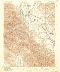
1919 Map of King City
USGS Topo · Published 1937About this map
Salinas River valley agriculture and the Southern Pacific rail corridor define this region during the First World War era. Surveyed just before the decade's end, the landscape shows a network of one-room schoolhouses serving rural family ranching operations, including Oasis School and Sweetwater School. The terrain is divided into large land grants such as San Bernabe and San Lucas, reflecting the area's transition from Spanish-era ranchos to modern Monterey County farming. To the southwest, the San Antonio Mission sits near the base of the Oak Hills, a quiet neighbor to the small settlements at Argyle and the growing hub of King City. The map traces numerous canyon drainages like Quinado Canyon and Mansfield Canyon that feed the valley floor from the surrounding high ground.
Find a feature on this map
54 named features on this map. Tap any name to fly to it.
Don’t see what you’re looking for? This feature index may not catch every label — zoom into the map to look around manually.
Map Details
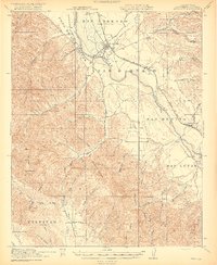
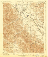
Editions of this 1919 King City Map
4 editions found
Other maps of this area

1912 · San Ardo
USGS Topo · 1:31,680

1912 · Metz
USGS Topo · 1:31,680

1915 · Soledad
USGS Topo · 1:62,500

1915 · Priest Valley
USGS Topo · 1:125,000

1919 · King City
USGS Topo · 1:62,500

1919 · Junipero Serra
USGS Topo · 1:62,500

1919 · Bryson
USGS Topo · 1:62,500

1919 · Bradley
USGS Topo · 1:62,500

1921 · Cape San Martin
USGS Topo · 1:62,500

1921 · Metz
USGS Topo · 1:62,500