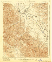
1919 Map of King City
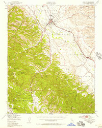
USGS Topo · Published 1941About this map
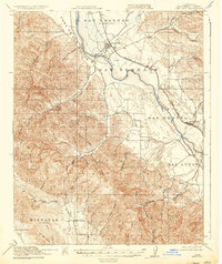
The Salinas River valley serves as the primary corridor for agricultural settlement and transport in this Monterey County landscape, surveyed just as the First World War concluded. The Southern Pacific (Coast Line) railroad anchors the commercial activity of King City and San Lucas, while the surrounding terrain is deeply incised by a dense network of canyons, including Thompson Canyon and Monroe Canyon. A scattered rural society is evidenced by numerous one-room schoolhouses such as Sweetwater School, Oasis School, and Argyle School, which reflect the localized nature of ranching communities in the early 20th century.
Find a feature on this map
54 named features on this map. Tap any name to fly to it.
Don’t see what you’re looking for? This feature index may not catch every label — zoom into the map to look around manually.
Map Details
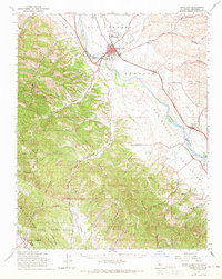
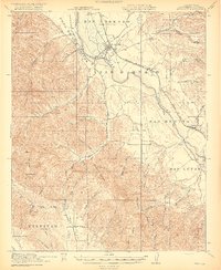
Editions of this 1919 King City Map
4 editions found

Historical Maps of Fort Hunter Liggett Cantonment Through Time
4 maps found