
1921 Map of Metz
USGS Topo · Published 1921About this map
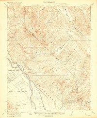
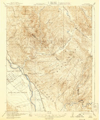
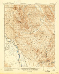
The Salinas River valley dominates this 1921 landscape, showing the early development of Greenfield and the settlement at Metz. The agricultural character of the region is evident through established landholdings like Coburn Ranch and San Carlos Ranch, while the Southern Pacific railroad provides the essential link for the valley's economy. In the northern reaches, the geology shifts dramatically toward the Gabilan range, where the Pinnacles National Monument is already established, featuring Pinnacle Rocks and Little Pinnacles.
Find a feature on this map
48 named features on this map. Tap any name to fly to it.
Don’t see what you’re looking for? This feature index may not catch every label — zoom into the map to look around manually.
Map Details
Editions of this 1921 Metz Map
4 editions found
Other maps of this area

1912 · Metz
USGS Topo · 1:31,680

1913 · Panoche
USGS Topo · 1:125,000

1915 · Soledad
USGS Topo · 1:62,500

1915 · Priest Valley
USGS Topo · 1:125,000

1919 · King City
USGS Topo · 1:62,500

1919 · San Benito
USGS Topo · 1:62,500

1919 · Junipero Serra
USGS Topo · 1:62,500

1921 · Gonzales
USGS Topo · 1:62,500

1931 · San Benito
USGS Topo · 1:62,500

1939 · King City
USGS Topo · 1:62,500