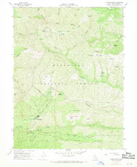
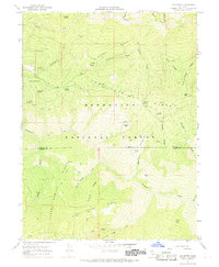
1967 Map of Alder Springs
USGS Topo · Published 1970About this map
Alder Springs and the surrounding reaches of the Mendocino National Forest are documented here during a mid-1960s survey by the California Department of Water Resources and the USGS. The landscape is defined by its numerous watering points and high ridges, featuring a network of springs such as Hardin Hole Spring, Bathtub Spring, and Manzanita Spring. This abundance of named water sources implies a history of seasonal range use or forestry camps in the years before more intensive development.
Find a feature on this map
55 named features on this map. Tap any name to fly to it.
Don’t see what you’re looking for? This feature index may not catch every label — zoom into the map to look around manually.
Map Details
Editions of this 1967 Alder Springs Map
3 editions found
Other maps of this area

1919 · Elk Creek
USGS Topo · 1:62,500

1948 · Elk Creek
USGS Topo · 1:62,500

1952 · Paskenta
USGS Topo · 1:62,500

1952 · Hull Mountain
USGS Topo · 1:62,500

1952 · Anthony Peak
USGS Topo · 1:62,500

1957 · Elk Creek
USGS Topo · 1:62,500

1957 · Ukiah
USGS Topo · 1:250,000

1960 · Ukiah
USGS Topo · 1:250,000
1967 · Plaskett meadows
USGS Topo · 1:24,000
1967 · Log Spring
USGS Topo · 1:24,000