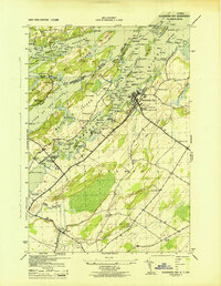
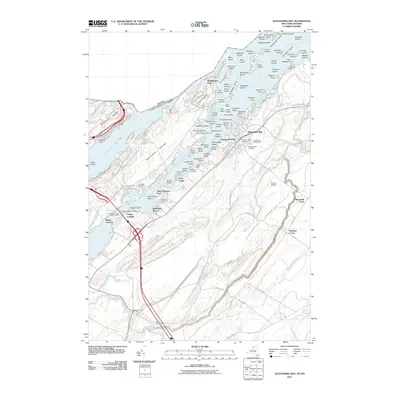
1943 Map of Alexandria Bay
USGS Topo · Published 1943About this map
Alexandria Bay serves as the gateway to the Thousand Islands during the early 1940s, a period when the Thousand Island Bridge had recently transformed the region's accessibility. The map details a landscape defined by international water boundaries, stretching from the dense collection of islands in the St Lawrence River to the agricultural crossroads around Omar. Navigation is a primary theme, marked by several lighthouse points including Sunken Rock LH and Harbor Island Light, along with a dedicated Coast Guard Sta near Collins Landing.
Find a feature on this map
127 named features on this map. Tap any name to fly to it.
Don’t see what you’re looking for? This feature index may not catch every label — zoom into the map to look around manually.
Map Details
Editions of this 1943 Alexandria Bay Map
This is the sole edition of this map. No revisions or reprints were ever made.
Historical Maps of Alexandria Through Time
9 maps found
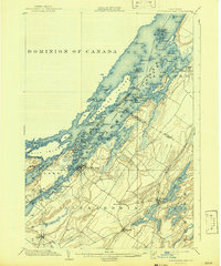
1903 Alexandria Bay
Jefferson County, NY
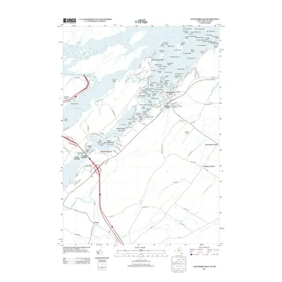
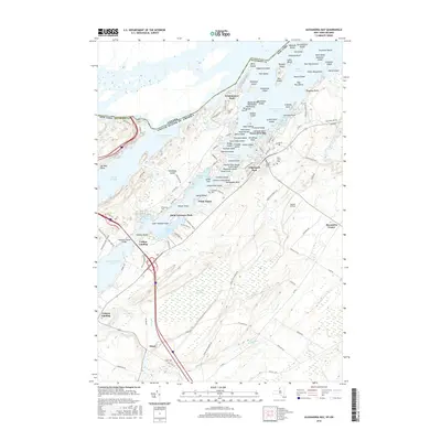
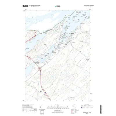
1943 Alexandria Bay
Jefferson County, NY
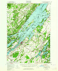
1948 Alexandria Bay
Jefferson County, NY
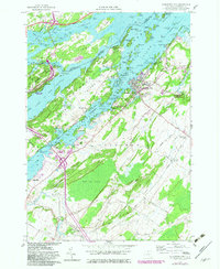
1958 Alexandria Bay
Jefferson County, NY
2011 Alexandria Bay
Jefferson County, NY
2013 Alexandria Bay
Jefferson County, NY
2016 Alexandria Bay
Jefferson County, NY
2019 Alexandria Bay
Jefferson County, NY

2023 Alexandria Bay
Jefferson County, NY