
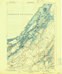
1903 Map of Alexandria Bay
USGS Topo · Published 1903About this map
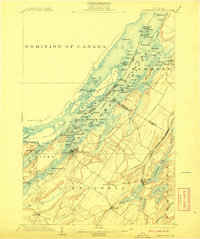
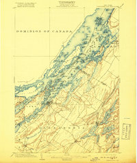
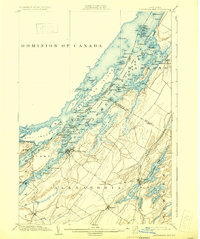
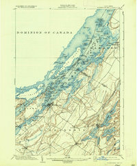
The St. Lawrence River dominates this 1903 survey, defining the international border between the Dominion of Canada and the United States. This maritime landscape is defined by the labyrinthine channels of the Thousand Islands, including the large landmasses of Wells Island and Grindstone Island. Along the New York shore, the resort character of the era is evident at Alexandria Bay and established seasonal communities like Westminster Park, St. Lawrence Park, and Point Vivian.
Find a feature on this map
118 named features on this map. Tap any name to fly to it.
Don’t see what you’re looking for? This feature index may not catch every label — zoom into the map to look around manually.
Map Details
Editions of this 1903 Alexandria Bay Map
6 editions found
Other maps of this area

1900 · Clayton
USGS Topo · 1:62,500

1903 · Grindstone
USGS Topo · 1:62,500

1903 · Clayton
USGS Topo · 1:62,500

1903 · Theresa
USGS Topo · 1:62,500

1906 · Brier Hill
USGS Topo · 1:62,500

1911 · Antwerp
USGS Topo · 1:62,500

1912 · Hammond
USGS Topo · 1:62,500

1942 · Clayton
USGS Topo · 1:24,000

1942 · Morristown
USGS Topo · 1:24,000

1943 · Thousand Island Park
USGS Topo · 1:31,680