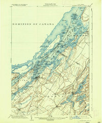
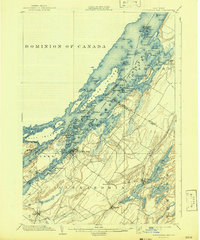
1903 Map of Alexandria Bay
USGS Topo · Published 1936About this map
Alexandria Bay serves as the focal point for this Thousand Islands study, positioned where the St. Lawrence River meets a complex archipelago along the Dominion of Canada United States boundary. The landscape transitions from the dense island clusters of Wells Island and Grenadier Island to a mainland interior defined by a series of elongated glacial lakes. These water bodies, including Butterfield Lake, Millsite Lake, and Sixberry Lake, are hemmed in by the characteristic rocky ridges of the region, flowing toward the Indian River.
Find a feature on this map
105 named features on this map. Tap any name to fly to it.
Don’t see what you’re looking for? This feature index may not catch every label — zoom into the map to look around manually.
Map Details
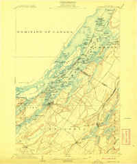
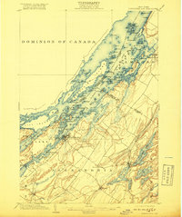
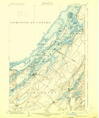
Editions of this 1903 Alexandria Bay Map
6 editions found
Other maps of this area

1900 · Clayton
USGS Topo · 1:62,500

1903 · Grindstone
USGS Topo · 1:62,500

1903 · Clayton
USGS Topo · 1:62,500

1903 · Alexandria Bay
USGS Topo · 1:62,500

1903 · Theresa
USGS Topo · 1:62,500

1906 · Brier Hill
USGS Topo · 1:62,500

1911 · Antwerp
USGS Topo · 1:62,500

1912 · Hammond
USGS Topo · 1:62,500

1942 · Clayton
USGS Topo · 1:24,000

1942 · Morristown
USGS Topo · 1:24,000