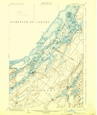
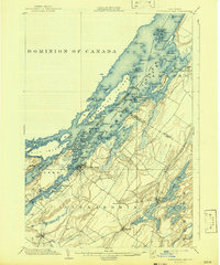
1903 Map of Alexandria Bay
USGS Topo · Published 1931About this map
The St. Lawrence River archipelago defines this international border landscape, revealing the dense collection of summer retreats and maritime navigation aids at the start of the twentieth century. Centered on Alexandria Bay, the survey details the Thousand Islands region, including the Summerland Group and Manhattan Group. Critical maritime markers like Sunken Rock L.H. and Grenadier I. L.H. guide traffic through the narrows between the Dominion of Canada and the United States.
Find a feature on this map
117 named features on this map. Tap any name to fly to it.
Don’t see what you’re looking for? This feature index may not catch every label — zoom into the map to look around manually.
Map Details
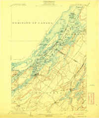
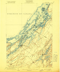
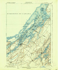
Editions of this 1903 Alexandria Bay Map
6 editions found
Other maps of this area

1900 · Clayton
USGS Topo · 1:62,500

1903 · Grindstone
USGS Topo · 1:62,500

1903 · Clayton
USGS Topo · 1:62,500

1903 · Alexandria Bay
USGS Topo · 1:62,500

1903 · Theresa
USGS Topo · 1:62,500

1906 · Brier Hill
USGS Topo · 1:62,500

1911 · Antwerp
USGS Topo · 1:62,500

1912 · Hammond
USGS Topo · 1:62,500

1942 · Clayton
USGS Topo · 1:24,000

1942 · Morristown
USGS Topo · 1:24,000