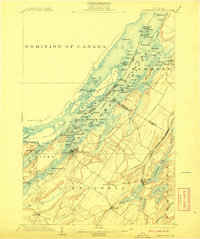
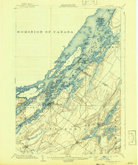
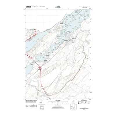
1903 Map of Alexandria Bay
USGS Topo · Published 1908About this map
The St. Lawrence River defines the landscape of this region at the start of the twentieth century, serving as both a bustling maritime thoroughfare and a growing recreational destination. Within the Thousand Islands, diverse clusters like the Manhattan Group and Excelsior Group indicate an era of resort development, anchored by locations such as Westminster Park and Edgewood Resort. The map highlights the maritime infrastructure of the day, including the Steamboat Canal and several navigational aids like the Grenadier I. L.H. and Sister Is. L.H., which guided vessels through the complex channels between the Dominion of Canada and the United States.
Find a feature on this map
119 named features on this map. Tap any name to fly to it.
Don’t see what you’re looking for? This feature index may not catch every label — zoom into the map to look around manually.
Map Details
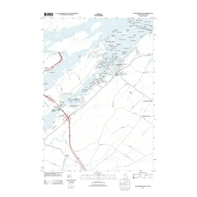
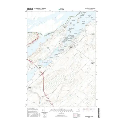
Editions of this 1903 Alexandria Bay Map
6 editions found

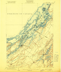
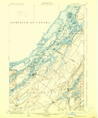
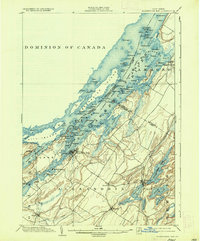
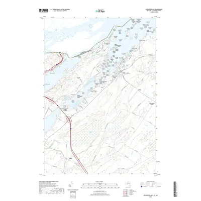
Historical Maps of Alexandria Through Time
9 maps found
1903 Alexandria Bay
Jefferson County, NY
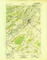
1943 Alexandria Bay
Jefferson County, NY
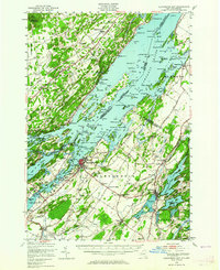
1948 Alexandria Bay
Jefferson County, NY
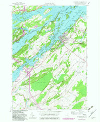
1958 Alexandria Bay
Jefferson County, NY
2011 Alexandria Bay
Jefferson County, NY
2013 Alexandria Bay
Jefferson County, NY
2016 Alexandria Bay
Jefferson County, NY
2019 Alexandria Bay
Jefferson County, NY

2023 Alexandria Bay
Jefferson County, NY