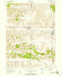
1982 Map of Alexis
USGS Topo · Published 1984About this map
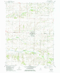
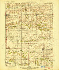
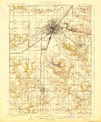
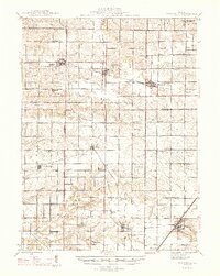
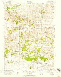
Alexis sits at the intersection of the Mercer and Warren county line, serving as the primary hub of this agricultural landscape in the early 1980s. The village's history is physically etched into the terrain by an Old Railroad Grade and labels marked Abandoned, indicating the shift away from rail transport that once supported these farming communities. The surrounding townships of Suez, North Henderson, Spring Grove, and Kelly are defined by a branching drainage system that includes Henderson Creek and its many tributaries like Toms Creek and Middle Henderson Creek. South of the main village, the small settlement of Jensen and a Sewage Disposal plant represent the limited infrastructure beyond the main town center. The map's contour lines illustrate the subtle elevation changes as the prairie breaks into the creek valleys of western Illinois.
Find a feature on this map
16 named features on this map. Tap any name to fly to it.
Don’t see what you’re looking for? This feature index may not catch every label — zoom into the map to look around manually.
Map Details
Editions of this 1982 Alexis Map
This is the sole edition of this map. No revisions or reprints were ever made.
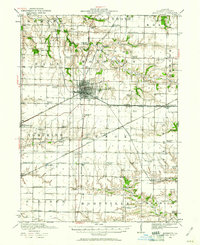
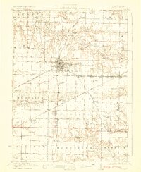
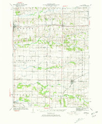
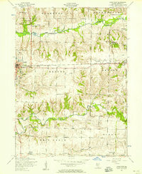
Other maps of this area
1921 · Monmouth
USGS Topo · 1:62,500
1923 · Monmouth
USGS Topo · 1:62,500
1923 · Alexis
USGS Topo · 1:62,500
1925 · Alexis
USGS Topo · 1:62,500

1925 · Galesburg
USGS Topo · 1:62,500
1927 · Galesburg
USGS Topo · 1:62,500
1947 · Woodhull
USGS Topo · 1:62,500
1953 · Viola
USGS Topo · 1:24,000
1953 · New Windsor
USGS Topo · 1:24,000
1953 · Aledo East
USGS Topo · 1:24,000