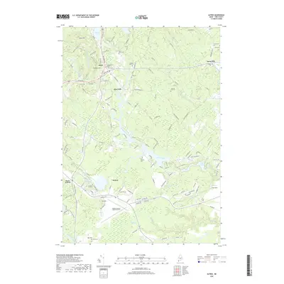
2018 Map of Alfred
USGS Topo · Published 2018About this map
Alfred and Sanford anchor this detailed study of York County's interior, where the Middle Branch Mousam River and Littlefield River converge. The landscape is defined by its transition from the built environments of South Sanford to the wooded hills of Yeaton Hill and Brackett Hill. For those researching local lineages, the map identifies several small burial grounds, including the Fletcher Graveyard and Nutter Family Cem, alongside the more central Evergreen Cem. The area's industrial history is marked by established nodes like Alfred Mills and Spang Mills, while its modern transit role is highlighted by the Sanford Seacoast Regional Airport near Lion Hill. This map reveals a complex drainage network that includes Perkins Marsh Brook and Cold Water Brook, illustrating how the waterway system shaped early settlement patterns before modern infrastructure took hold.
Find a feature on this map
147 named features on this map. Tap any name to fly to it.
Don’t see what you’re looking for? This feature index may not catch every label — zoom into the map to look around manually.
Map Details
Editions of this 2018 Alfred Map
This is the sole edition of this map. No revisions or reprints were ever made.
Other maps of this area

1891 · Berwick
USGS Topo · 1:62,500

1891 · Kennebunk
USGS Topo · 1:62,500

1891 · Buxton
USGS Topo · 1:62,500

1891 · Newfield
USGS Topo · 1:62,500

1892 · Buxton
USGS Topo · 1:62,500

1893 · Kennebunk
USGS Topo · 1:62,500

1893 · Berwick
USGS Topo · 1:62,500

1893 · Buxton
USGS Topo · 1:62,500

1893 · Newfield
USGS Topo · 1:62,500

1898 · Kennebunk
USGS Topo · 1:62,500