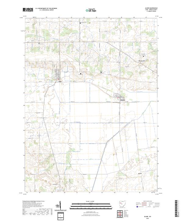
2023 Map of Alger
USGS Topo · Published 2023About this map
Alger and McGuffey anchor this Hardin County landscape, where the headwaters of the Scioto River wind through a grid of agricultural section lines. This area is defined by its drainage history, visible in the engineered pathways of Cooney Ditch and Cottonwood Ditch which support the surrounding farmland. Genealogists and local historians will find several well-preserved burial grounds across the township, including Woodlawn Cem to the north and Shadley Cem near the central crossroads.
Find a feature on this map
60 named features on this map. Tap any name to fly to it.
Don’t see what you’re looking for? This feature index may not catch every label — zoom into the map to look around manually.
Map Details
Editions of this 2023 Alger Map
This is the sole edition of this map. No revisions or reprints were ever made.
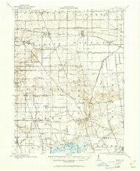
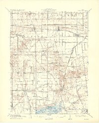
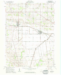
Historical Maps of McGuffey Through Time
5 maps found

Featured Locations
- Cessna Township, OH
- Liberty Township, OH
- Lynn Township, OH
- Alger, Marion Township
- McGuffey, Marion Township