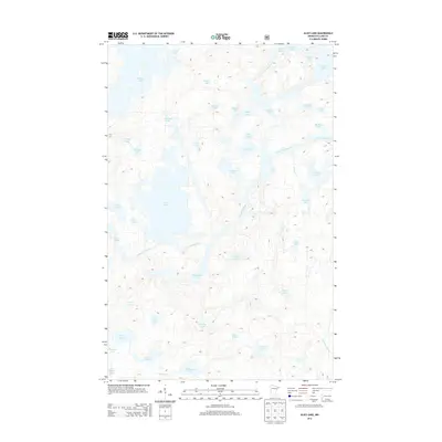
2013 Map of Alice Lake
USGS Topo · Published 2013About this map
The Kawishiwi River winds through this glacier-carved landscape of northeastern Minnesota, connecting a dense network of water bodies that define the region's geography. In this 2013 survey, the intricate drainage patterns of the Boundary Waters area are clearly visible, showing how the river ties together Alice Lake, Malberg Lake, and River Lake. The terrain is characterized by numerous small lakes with evocative names like Fishdance Lake, Screamer Lake, and Blissful Lake, suggesting the historical experiences of early travelers and surveyors. Large bodies of water such as Thomas Lake and Fraser Lake dominate the northern section, while smaller tributaries like Record Cr feed into the central basin. The map reveals an aquatic landscape where land is often secondary to the sprawling network of interconnected lakes and channels.
Find a feature on this map
44 named features on this map. Tap any name to fly to it.
Don’t see what you’re looking for? This feature index may not catch every label — zoom into the map to look around manually.
Map Details
Editions of this 2013 Alice Lake Map
This is the sole edition of this map. No revisions or reprints were ever made.
Other maps of this area

1954 · Two Harbors
USGS Topo · 1:250,000

1957 · Two Harbors
USGS Topo · 1:250,000

1957 · Ensign Lake
USGS Topo · 1:62,500

1957 · Quetico
USGS Topo · 1:250,000

1958 · Two Harbors
USGS Topo · 1:250,000

1959 · Ogishkemuncie Lake
USGS Topo · 1:24,000

1959 · Kekekabic Lake
USGS Topo · 1:24,000

1960 · Lake Polly
USGS Topo · 1:24,000

1960 · Kawishiwi Lake
USGS Topo · 1:24,000

1960 · Perent Lake
USGS Topo · 1:24,000