
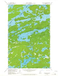
1959 Map of Kekekabic Lake
USGS Topo · Published 1962About this map
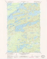
Kekekabic Lake serves as the central anchor for this wilderness survey conducted just before the turn of the 1960s. The landscape is defined by the international boundary between Ontario and Minnesota, where the Knife Lake system weaves along the border of Quetico Provincial Park and the Superior National Forest. This remote northwoods region shows almost no human infrastructure beyond the Kekekabic Lookout Tower and a sparse network of established trails. The drainage patterns are intricate, connecting numerous smaller bodies of water like Sema Lake and Wisini Lake through narrow portages and channels. The absence of roads underscores the area's protected status within the Minnesota State Forest and national forest lands, preserving a snapshot of the Boundary Waters region in its mid-century state.
Find a feature on this map
57 named features on this map. Tap any name to fly to it.
Don’t see what you’re looking for? This feature index may not catch every label — zoom into the map to look around manually.
Map Details
Editions of this 1959 Kekekabic Lake Map
3 editions found
Other maps of this area

1954 · Two Harbors
USGS Topo · 1:250,000

1957 · Two Harbors
USGS Topo · 1:250,000

1957 · Ensign Lake
USGS Topo · 1:62,500

1957 · Quetico
USGS Topo · 1:250,000

1958 · Two Harbors
USGS Topo · 1:250,000

1959 · Ogishkemuncie Lake
USGS Topo · 1:24,000

1959 · Dutton Lake
USGS Topo · 1:24,000

1959 · Ester Lake
USGS Topo · 1:24,000

1960 · Lake Polly
USGS Topo · 1:24,000

1960 · Alice Lake
USGS Topo · 1:24,000