
1959 Map of Ester Lake
USGS Topo · Published 1962About this map
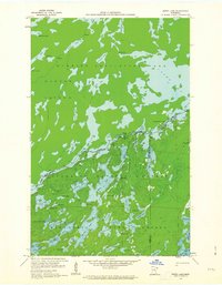
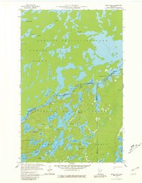
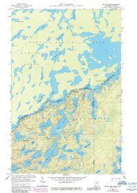
The international boundary between Cook and Lake counties in Minnesota and Ontario, Canada, splits this wilderness landscape dominated by glacial lakes and dense forest. Centered on Ester Lake, the topography reveals a complex network of waterways that served as ancient travel corridors through the Superior National Forest and Quetico Provincial Park. To the north, the massive Hunter Island is defined by the waters of Cypress Lake and Saganaga Lake, while High Falls marks a significant drop in the terrain near Slate Lake. The map captures a primitive landscape largely untouched by roads, where travel is dictated by portages and water bodies like Gijikiki Lake and the descriptive Lake of the Clouds. These features illustrate the hydrologic connectivity of the Boundary Waters region before modern conservation efforts solidified its protected status.
Find a feature on this map
55 named features on this map. Tap any name to fly to it.
Don’t see what you’re looking for? This feature index may not catch every label — zoom into the map to look around manually.
Map Details
Editions of this 1959 Ester Lake Map
4 editions found
Other maps of this area

1957 · Quetico
USGS Topo · 1:250,000

1959 · Munker Island
USGS Topo · 1:24,000

1959 · Ogishkemuncie Lake
USGS Topo · 1:24,000

1959 · Kekekabic Lake
USGS Topo · 1:24,000

1959 · Dutton Lake
USGS Topo · 1:24,000

1959 · Gillis Lake
USGS Topo · 1:24,000

1968 · Quetico
USGS Topo · 1:250,000

1976 · Saganaga Lake
USGS Topo · 1:100,000

1977 · Basswood Lake
USGS Topo · 1:100,000
2011 · Gillis Lake
USGS Topo · 1:24,000