
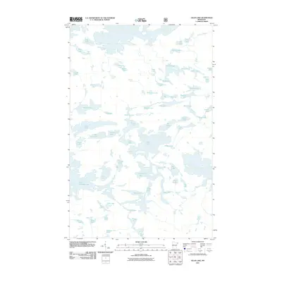
1959 Map of Munker Island
USGS Topo · Published 1962About this map
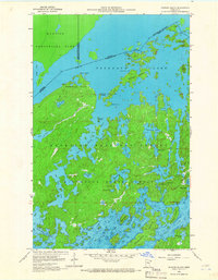
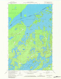
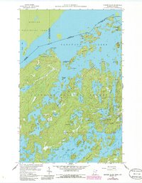
The international boundary between Ontario and Minnesota bisects the island-studded waters of Saganaga Lake, a landscape defined by the convergence of Quetico Provincial Park and the Superior National Forest. This late-1950s survey documents the northern terminus of the Gunflint Trail at the small settlement of Trails End. The map reveals an intricate network of waterways including the Sea Gull River, which connects the larger Sea Gull Lake to its northern neighbors. Significant landmarks such as Munker Island, American Point, and Englishman Island are clearly delineated, showing the character of this border region before further modern developments. Numerous smaller water bodies like Red Rock Lake and Hivernant Lake fill the interior, highlighting the complex glaciated geography of the Minnesota State Forest.
Find a feature on this map
51 named features on this map. Tap any name to fly to it.
Don’t see what you’re looking for? This feature index may not catch every label — zoom into the map to look around manually.
Map Details
Editions of this 1959 Munker Island Map
4 editions found
Other maps of this area

1957 · Quetico
USGS Topo · 1:250,000

1959 · Conners Island
USGS Topo · 1:24,000

1959 · Ogishkemuncie Lake
USGS Topo · 1:24,000

1959 · Gillis Lake
USGS Topo · 1:24,000

1959 · Ester Lake
USGS Topo · 1:24,000
1960 · Long Island Lake
USGS Topo · 1:24,000

1968 · Quetico
USGS Topo · 1:250,000

1976 · Saganaga Lake
USGS Topo · 1:100,000

1977 · Basswood Lake
USGS Topo · 1:100,000
2011 · Gillis Lake
USGS Topo · 1:24,000