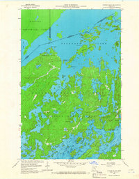
1959 Map of Munker Island
USGS Topo · Published 1966About this map
Saganaga Lake dominates this international border landscape, where the waters of northern Minnesota meet Ontario at the edge of Quetico Provincial Park. The 1959 field survey illustrates a complex network of glacial islands and waterways including Munker Island, Englishman Island, and Gold Island. This wilderness area, protected within the Superior National Forest, shows very little human development, save for the distinct outpost at Trails End near the Sea Gull River. The map provides an intricate look at the hydrology of the Boundary Waters, tracing the connections between Sea Gull Lake, Alpine Lake, and Red Rock Lake. Notable landmarks like American Point and Rocky Point define the rugged shoreline, while interior lakes such as Hivernant Lake and Grandpa Lake are set against the wooded terrain of the Minnesota State Forest.
Find a feature on this map
43 named features on this map. Tap any name to fly to it.
Don’t see what you’re looking for? This feature index may not catch every label — zoom into the map to look around manually.
Map Details
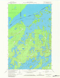
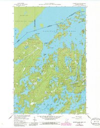
Editions of this 1959 Munker Island Map
4 editions found
Other maps of this area

1957 · Quetico
USGS Topo · 1:250,000

1959 · Munker Island
USGS Topo · 1:24,000

1959 · Conners Island
USGS Topo · 1:24,000

1959 · Ogishkemuncie Lake
USGS Topo · 1:24,000

1959 · Gillis Lake
USGS Topo · 1:24,000

1959 · Ester Lake
USGS Topo · 1:24,000
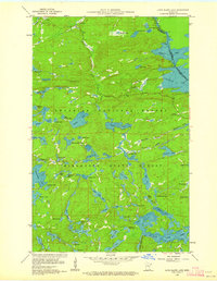
1960 · Long Island Lake
USGS Topo · 1:24,000

1968 · Quetico
USGS Topo · 1:250,000

1976 · Saganaga Lake
USGS Topo · 1:100,000

1977 · Basswood Lake
USGS Topo · 1:100,000