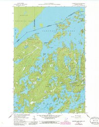
1959 Map of Munker Island
USGS Topo · Published 1986About this map
Saganaga Lake and Sea Gull Lake dominate this map of the international border between Minnesota and Ontario. This 1959 field check, later updated in 1986, captures the intricate network of islands and water bodies that define the Boundary Waters Canoe Area Wilderness. On the Canadian side, the Quetico Provincial Park landscape includes Cache Point and Jocks Narrows, while the American side within the Superior National Forest features landmarks like Munker Island and American Point. The presence of Trails End and the Sunflower Trail indicates the early recreational infrastructure of the region. Local nomenclature is well-preserved, with uniquely named features such as Hivernant Lake, Grandpa Lake, and Meditation Lake. A footbridge and various boat ramps provide specific points of interest for those tracing the historical accessibility of this wilderness before and during its modern federal designation.
Find a feature on this map
48 named features on this map. Tap any name to fly to it.
Don’t see what you’re looking for? This feature index may not catch every label — zoom into the map to look around manually.
Map Details
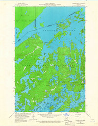
Editions of this 1959 Munker Island Map
4 editions found
Other maps of this area

1957 · Quetico
USGS Topo · 1:250,000

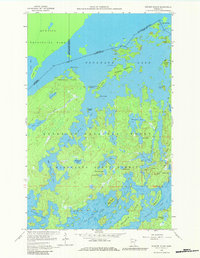
1959 · Munker Island
USGS Topo · 1:24,000

1959 · Conners Island
USGS Topo · 1:24,000

1959 · Ogishkemuncie Lake
USGS Topo · 1:24,000

1959 · Gillis Lake
USGS Topo · 1:24,000

1959 · Ester Lake
USGS Topo · 1:24,000
1960 · Long Island Lake
USGS Topo · 1:24,000

1968 · Quetico
USGS Topo · 1:250,000

1976 · Saganaga Lake
USGS Topo · 1:100,000

1977 · Basswood Lake
USGS Topo · 1:100,000