
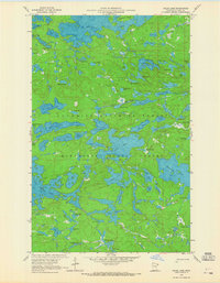
1959 Map of Gillis Lake
USGS Topo · Published 1962About this map
Seagull Lake and its intricate northern shoreline anchor this late 1950s survey of the northern wilderness near the Canadian border. The landscape is defined by a dense network of water bodies, including Alpine Lake, Jasper Lake, and Bingshick Lake, many connected by the winding Chub River. This map captures the area within the Superior National Forest and Minnesota State Forest, showing a terrain dominated by glacial lakes and narrow portages before the modern era of heavy recreational development. The presence of numerous small lakes like Cavity Lake, Elusion Lake, and Honker Lake illustrates the complex hydrology of the Iron Range region. Topographic data, including depth curves for the major lakes, was provided by the Minnesota Department of Conservation, offering a rare look at the underwater contours of these remote northern waters during this period.
Find a feature on this map
76 named features on this map. Tap any name to fly to it.
Don’t see what you’re looking for? This feature index may not catch every label — zoom into the map to look around manually.
Map Details
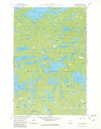
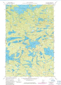
Editions of this 1959 Gillis Lake Map
4 editions found
Other maps of this area

1954 · Two Harbors
USGS Topo · 1:250,000

1957 · Two Harbors
USGS Topo · 1:250,000

1957 · Quetico
USGS Topo · 1:250,000

1958 · Two Harbors
USGS Topo · 1:250,000

1959 · Munker Island
USGS Topo · 1:24,000

1959 · Conners Island
USGS Topo · 1:24,000

1959 · Ogishkemuncie Lake
USGS Topo · 1:24,000

1959 · Ester Lake
USGS Topo · 1:24,000

1960 · Lake Polly
USGS Topo · 1:24,000
1960 · Cherokee Lake
USGS Topo · 1:24,000