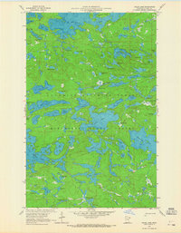
1959 Map of Gillis Lake
USGS Topo · Published 1965About this map
Superior National Forest and Minnesota State Forest lands converge in this 1959 survey of the Boundary Waters region, revealing a landscape defined entirely by its complex glacial hydrology. The area is characterized by an intricate network of interconnected waterways, from the sprawling Little Saganaga Lake and Gabimichigami Lake to the centrally located Gillis Lake. At this time, the region remained largely untouched by permanent development, with the only human infrastructure appearing as trails winding between the basins. The inclusion of depth curves, compiled from Minnesota Department of Conservation charts, offers a look beneath the surface of major bodies like Alpine Lake and Jasper Lake. Notable features like Threemile Island and the uniquely named Ecstasy Lake punctuate the vast woodland, reflecting the remote character of northeastern Cook County before more modern recreational management was established.
Find a feature on this map
77 named features on this map. Tap any name to fly to it.
Don’t see what you’re looking for? This feature index may not catch every label — zoom into the map to look around manually.
Map Details
Editions of this 1959 Gillis Lake Map
4 editions found
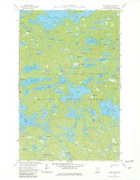
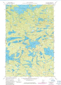
Other maps of this area

1954 · Two Harbors
USGS Topo · 1:250,000

1957 · Two Harbors
USGS Topo · 1:250,000

1957 · Quetico
USGS Topo · 1:250,000

1958 · Two Harbors
USGS Topo · 1:250,000

1959 · Munker Island
USGS Topo · 1:24,000

1959 · Conners Island
USGS Topo · 1:24,000

1959 · Ogishkemuncie Lake
USGS Topo · 1:24,000

1959 · Gillis Lake
USGS Topo · 1:24,000

1959 · Ester Lake
USGS Topo · 1:24,000

1960 · Lake Polly
USGS Topo · 1:24,000