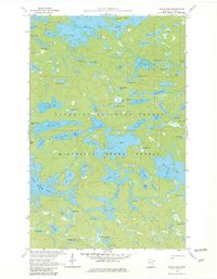
1959 Map of Gillis Lake
USGS Topo · Published 1982About this map
Sea Gull Lake and the intricate waterways of the Boundary Waters region define this 1950s landscape, captured just as modern conservation efforts were solidifying the area's protected status. Spanning the Superior National Forest and Minnesota State Forest, the map reveals a wilderness largely devoid of permanent settlements, focused instead on a complex network of glacial basins including Little Saganaga Lake and Gabimichigami Lake.
Find a feature on this map
79 named features on this map. Tap any name to fly to it.
Don’t see what you’re looking for? This feature index may not catch every label — zoom into the map to look around manually.
Map Details
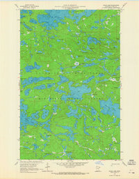
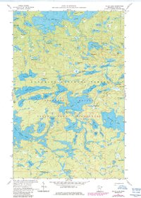
Editions of this 1959 Gillis Lake Map
4 editions found
Other maps of this area

1954 · Two Harbors
USGS Topo · 1:250,000

1957 · Two Harbors
USGS Topo · 1:250,000

1957 · Quetico
USGS Topo · 1:250,000

1958 · Two Harbors
USGS Topo · 1:250,000

1959 · Munker Island
USGS Topo · 1:24,000

1959 · Conners Island
USGS Topo · 1:24,000

1959 · Ogishkemuncie Lake
USGS Topo · 1:24,000

1959 · Gillis Lake
USGS Topo · 1:24,000

1959 · Ester Lake
USGS Topo · 1:24,000

1960 · Lake Polly
USGS Topo · 1:24,000