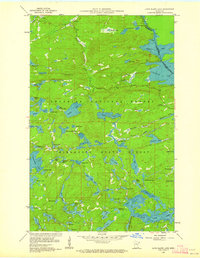
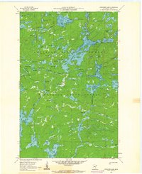
1960 Map of Long Island Lake
USGS Topo · Published 1963About this map
Superior National Forest and Minnesota State Forest define the landscape of this boundary-country survey, which documents the complex glacial hydrology along the United States-Canada border. The map captures a wilderness area organized by portages and waterways rather than roads, with the iconic Gunflint Trail providing one of the few terrestrial corridors through the lake-strewn terrain. Significant landmarks for navigation and safety include the Gunflint Lookout Tower and a Forest Service Guard Station near Seagull Lake.
Find a feature on this map
71 named features on this map. Tap any name to fly to it.
Don’t see what you’re looking for? This feature index may not catch every label — zoom into the map to look around manually.
Map Details
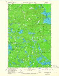
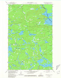
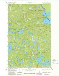
Editions of this 1960 Long Island Lake Map
4 editions found
Other maps of this area

1919 · Brule Lake
USGS Topo · 1:62,500

1954 · Two Harbors
USGS Topo · 1:250,000

1957 · Two Harbors
USGS Topo · 1:250,000

1957 · Quetico
USGS Topo · 1:250,000

1958 · Two Harbors
USGS Topo · 1:250,000

1959 · Munker Island
USGS Topo · 1:24,000

1959 · Conners Island
USGS Topo · 1:24,000

1959 · Gillis Lake
USGS Topo · 1:24,000

1960 · Brule Lake
USGS Topo · 1:24,000
1960 · Cherokee Lake
USGS Topo · 1:24,000