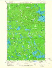
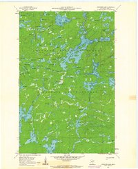
1960 Map of Long Island Lake
USGS Topo · Published 1966About this map
Gunflint Lake and the international boundary between Ontario and Minnesota anchor this 1960s study of the Superior National Forest. The landscape is defined by a dense network of interconnected waterways, where the Gunflint River and Cross River flow through a complex system of glacial basins including Seagull, Magnetic, and Long Island Lake. Early 20th-century infrastructure is visible at the Forest Service Guard Station and the Gunflint Lookout Tower, which monitored the surrounding timberlands. Human activity in this remote wilderness is concentrated along the Gunflint Trail and near isolated resource extraction sites like Mine Lake and various Gravel Pits. The map documents a transition point where the Superior National Forest meets the Minnesota State Forest, preserving a record of the region's hydrography and forestry management before modern developments.
Find a feature on this map
71 named features on this map. Tap any name to fly to it.
Don’t see what you’re looking for? This feature index may not catch every label — zoom into the map to look around manually.
Map Details
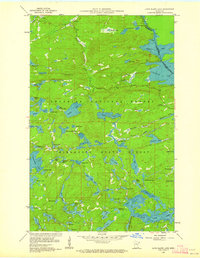
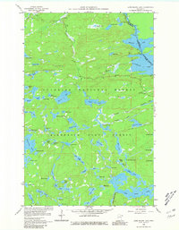
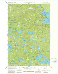
Editions of this 1960 Long Island Lake Map
4 editions found
Other maps of this area

1919 · Brule Lake
USGS Topo · 1:62,500

1954 · Two Harbors
USGS Topo · 1:250,000

1957 · Two Harbors
USGS Topo · 1:250,000

1957 · Quetico
USGS Topo · 1:250,000

1958 · Two Harbors
USGS Topo · 1:250,000

1959 · Munker Island
USGS Topo · 1:24,000

1959 · Conners Island
USGS Topo · 1:24,000

1959 · Gillis Lake
USGS Topo · 1:24,000

1960 · Brule Lake
USGS Topo · 1:24,000
1960 · Cherokee Lake
USGS Topo · 1:24,000