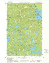
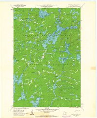
1960 Map of Long Island Lake
USGS Topo · Published 1986About this map
The Boundary Waters Canoe Area Wilderness dominates this landscape along the international border, where intricate chains of lakes and portages defined the travel routes of the mid-20th century. Centered within the Superior National Forest, the map captures the transition from logging and early resource extraction toward a protected wilderness character. High points like the Gunflint Lookout Tower provided critical vantage points over the surrounding timber, while the historic Gunflint Trail serves as the primary artery connecting the backwoods to the outside world. To the north, the boundary between Ontario and Minnesota follows the water through Magnetic Lake and Gunflint Lake. Local industrial efforts are marked by a Mine near Mine Lake and a Gravel Pit along the Cross River, illustrating the pockets of work that persisted alongside the Forest Service Guard Station.
Find a feature on this map
77 named features on this map. Tap any name to fly to it.
Don’t see what you’re looking for? This feature index may not catch every label — zoom into the map to look around manually.
Map Details
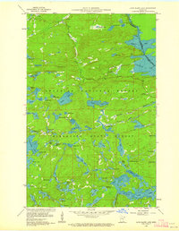
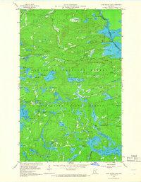
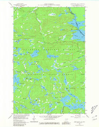
Editions of this 1960 Long Island Lake Map
4 editions found
Other maps of this area

1919 · Brule Lake
USGS Topo · 1:62,500

1954 · Two Harbors
USGS Topo · 1:250,000

1957 · Two Harbors
USGS Topo · 1:250,000

1957 · Quetico
USGS Topo · 1:250,000

1958 · Two Harbors
USGS Topo · 1:250,000

1959 · Munker Island
USGS Topo · 1:24,000

1959 · Conners Island
USGS Topo · 1:24,000

1959 · Gillis Lake
USGS Topo · 1:24,000

1960 · Brule Lake
USGS Topo · 1:24,000
1960 · Cherokee Lake
USGS Topo · 1:24,000