
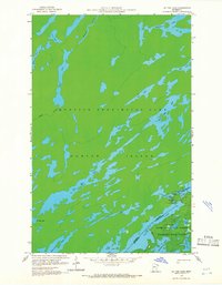
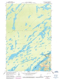
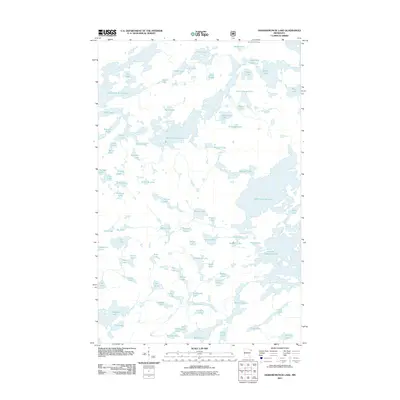
1959 Map of Dutton Lake
USGS Topo · Published 1962About this map
Quetico Provincial Park and the northern reaches of the Superior National Forest dominate this 1959 survey of the international borderlands. The landscape is defined by the massive Hunter Island landform, a sprawling territory in Ontario surrounded by a complex network of glacial waterways. The border between Canada and the United States follows the center of the chain of lakes, most notably through the deep waters of Cypress Lake and Knife Lake. This map records the wilderness character of the region just as photogrammetric methods began to provide precise detail of the remote interior. Travelers and researchers can trace the historic Little Knife Portage between the major lakes, alongside several smaller bodies of water like No Man Lake, Plough Lake, and Dutton Lake, which are linked by narrow channels and primitive trails through the dense Minnesota State Forest.
Find a feature on this map
30 named features on this map. Tap any name to fly to it.
Don’t see what you’re looking for? This feature index may not catch every label — zoom into the map to look around manually.
Map Details
Editions of this 1959 Dutton Lake Map
3 editions found
Other maps of this area

1957 · Ensign Lake
USGS Topo · 1:62,500

1957 · Quetico
USGS Topo · 1:250,000

1959 · Ogishkemuncie Lake
USGS Topo · 1:24,000

1959 · Kekekabic Lake
USGS Topo · 1:24,000

1959 · Ester Lake
USGS Topo · 1:24,000

1968 · Quetico
USGS Topo · 1:250,000
1976 · Ensign Lake SE
USGS Topo · 1:24,000

1977 · Basswood Lake
USGS Topo · 1:100,000
1981 · Ensign Lake East
USGS Topo · 1:24,000
2011 · Ogishkemuncie Lake
USGS Topo · 1:24,000