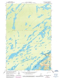
1959 Map of Dutton Lake
USGS Topo · Published 1986About this map
The Canada United States border bisects this wilderness landscape, separating the massive Hunter Island in Ontario from the northern edge of Minnesota. Following the 1959 field check, the map depicts an intricate system of interconnected waterways that define the Quetico Provincial Park and the Superior National Forest. Notable water bodies including Ottertrack Lake, Knife Lake, and Emerald Lake serve as the primary conduits for travel through this roadless terrain.
Find a feature on this map
45 named features on this map. Tap any name to fly to it.
Don’t see what you’re looking for? This feature index may not catch every label — zoom into the map to look around manually.
Map Details
Editions of this 1959 Dutton Lake Map
3 editions found
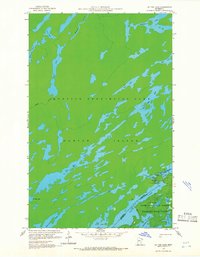
Other maps of this area

1957 · Ensign Lake
USGS Topo · 1:62,500

1957 · Quetico
USGS Topo · 1:250,000

1959 · Ogishkemuncie Lake
USGS Topo · 1:24,000

1959 · Kekekabic Lake
USGS Topo · 1:24,000

1959 · Dutton Lake
USGS Topo · 1:24,000

1959 · Ester Lake
USGS Topo · 1:24,000

1968 · Quetico
USGS Topo · 1:250,000
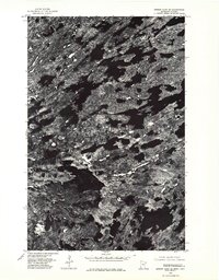
1976 · Ensign Lake SE
USGS Topo · 1:24,000

1977 · Basswood Lake
USGS Topo · 1:100,000
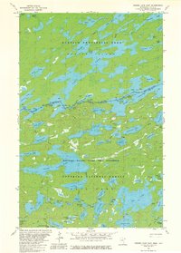
1981 · Ensign Lake East
USGS Topo · 1:24,000