
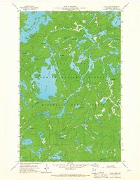
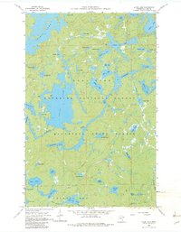
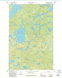
1960 Map of Alice Lake
USGS Topo · Published 1963About this map
Alice Lake and the winding Kawishiwi River dominate this complex aquatic landscape within the Superior National Forest. This 1960 field-checked survey reveals an intricate network of glaciated basins and portage routes, where larger bodies like Thomas Lake and Malberg Lake are connected by narrow channels and smaller waters such as Cacabic Lake, Chub Lake, and Whiz Lake. The terrain is characterized by dense forest cover and numerous smaller ponds, including the aptly named Fishdance Lake and Struggle Lake.
Find a feature on this map
48 named features on this map. Tap any name to fly to it.
Don’t see what you’re looking for? This feature index may not catch every label — zoom into the map to look around manually.
Map Details
Editions of this 1960 Alice Lake Map
4 editions found
Other maps of this area

1954 · Two Harbors
USGS Topo · 1:250,000

1957 · Two Harbors
USGS Topo · 1:250,000

1957 · Ensign Lake
USGS Topo · 1:62,500

1957 · Quetico
USGS Topo · 1:250,000

1958 · Two Harbors
USGS Topo · 1:250,000

1959 · Ogishkemuncie Lake
USGS Topo · 1:24,000

1959 · Kekekabic Lake
USGS Topo · 1:24,000

1960 · Lake Polly
USGS Topo · 1:24,000

1960 · Kawishiwi Lake
USGS Topo · 1:24,000

1960 · Perent Lake
USGS Topo · 1:24,000