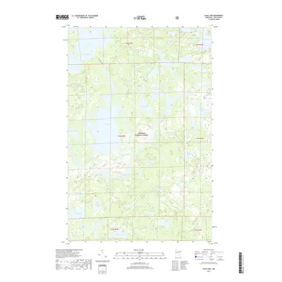
2019 Map of Alice Lake
USGS Topo · Published 2019About this map
Alice Lake and the surrounding wilderness of the Superior National Forest define this landscape within Lake County. The map documents an intricate network of glacial lakes and waterways, connected by the Kawishiwi River and established portages such as Thomas-Cacabic. This area, a critical component of the Boundary Waters region, shows the complex hydrology of northern Minnesota, where water bodies like Thomas Lake, Fishdance Lake, and Amber Lake are separated only by narrow ridges of land and short connecting streams. The absence of roads and the reliance on traditional water routes underscore the region's enduring character as a preserved interior wilderness. From the northern reaches of Adams Lake to the southern waters of Hope Lake, the survey provides a precise look at the elevation and drainage patterns that have guided travel through these woods for generations.
Find a feature on this map
43 named features on this map. Tap any name to fly to it.
Don’t see what you’re looking for? This feature index may not catch every label — zoom into the map to look around manually.
Map Details
Editions of this 2019 Alice Lake Map
This is the sole edition of this map. No revisions or reprints were ever made.
Other maps of this area

1954 · Two Harbors
USGS Topo · 1:250,000

1957 · Two Harbors
USGS Topo · 1:250,000

1957 · Ensign Lake
USGS Topo · 1:62,500

1957 · Quetico
USGS Topo · 1:250,000

1958 · Two Harbors
USGS Topo · 1:250,000

1959 · Ogishkemuncie Lake
USGS Topo · 1:24,000

1959 · Kekekabic Lake
USGS Topo · 1:24,000

1960 · Lake Polly
USGS Topo · 1:24,000

1960 · Kawishiwi Lake
USGS Topo · 1:24,000

1960 · Perent Lake
USGS Topo · 1:24,000