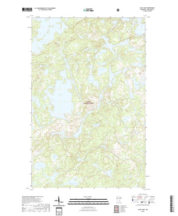
2022 Map of Alice Lake
USGS Topo · Published 2022About this map
The Superior National Forest defines this roadless interior of Lake County, where a vast network of interconnected waterways and glacial basins dominates the landscape. Alice Lake sits at the center of the sheet, serving as a significant catchment for the Kawishiwi River as it meanders through the wilderness. This intricate drainage system, including the Record Creek and numerous smaller basins like Amber Lake, Assawan Lake, and Blissful Lake, reflects a terrain fundamentally shaped by water and rock rather than human settlement. In the northern reaches, Thomas Lake and Cacabic Lake are separated by the Thomas-Cacabic portage route, illustrating the primary means of transit through this protected area. The Absence of roads and structural developments highlights the region's character as a preserved wilderness at the time of this 2022 survey.
Find a feature on this map
43 named features on this map. Tap any name to fly to it.
Don’t see what you’re looking for? This feature index may not catch every label — zoom into the map to look around manually.
Map Details
Editions of this 2022 Alice Lake Map
This is the sole edition of this map. No revisions or reprints were ever made.
Other maps of this area

1954 · Two Harbors
USGS Topo · 1:250,000

1957 · Two Harbors
USGS Topo · 1:250,000

1957 · Ensign Lake
USGS Topo · 1:62,500

1957 · Quetico
USGS Topo · 1:250,000

1958 · Two Harbors
USGS Topo · 1:250,000

1959 · Ogishkemuncie Lake
USGS Topo · 1:24,000

1959 · Kekekabic Lake
USGS Topo · 1:24,000

1960 · Lake Polly
USGS Topo · 1:24,000

1960 · Kawishiwi Lake
USGS Topo · 1:24,000

1960 · Perent Lake
USGS Topo · 1:24,000