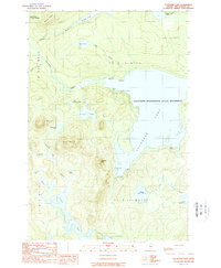
1989 Map of Allagash Lake
USGS Topo · Published 1989About this map
Allagash Lake and the surrounding wilderness of northern Maine are documented here as part of the Allagash Wilderness State Waterway during the late 1980s. The landscape is defined by its intricate network of interconnected waterways, including Allagash Stream, Johnson Pond, and the southern Poland Pond. Evidence of the region's managed wilderness status is found in the scattered primitive sites such as Ice Cave Campsite, Edes Campsite, and the Carry Trail Campsite. Higher elevations like Poland Mountain and Allagash Mtn overlook a terrain largely devoid of permanent development, save for essential infrastructure like the Ranger Sta and the Forest Service Camp. This survey captures the remote character of the Maine woods before the further digital modernization of topographical record-keeping, highlighting traditional landmarks like Mountain Pond and the aptly named Frozen Ocean.
Find a feature on this map
37 named features on this map. Tap any name to fly to it.
Don’t see what you’re looking for? This feature index may not catch every label — zoom into the map to look around manually.
Map Details
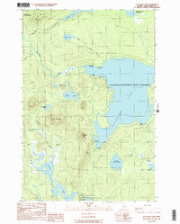
Editions of this 1989 Allagash Lake Map
2 editions found
Other maps of this area

1954 · Chesuncook
USGS Topo · 1:62,500

1954 · Caucomgomoc Lake
USGS Topo · 1:62,500

1954 · Churchill Lake
USGS Topo · 1:62,500

1954 · Allagash Lake
USGS Topo · 1:62,500

1954 · Presque Isle
USGS Topo · 1:250,000

1958 · Presque Isle
USGS Topo · 1:250,000

1958 · Chesuncook
USGS Topo · 1:62,500

1958 · Caucomgomoc Lake
USGS Topo · 1:62,500

1960 · Presque Isle
USGS Topo · 1:250,000

1961 · Allagash Lake
USGS Topo · 1:62,500