
1958 Map of Caucomgomoc Lake
USGS Topo · Published 1961About this map
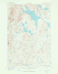
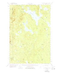
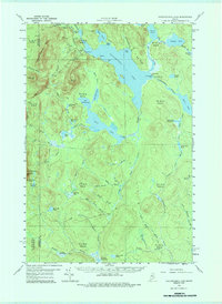
Caucomgomoc Lake dominates this mid-century survey of the Maine north woods, illustrating a landscape defined by industrial timber management and remote waterways. In 1958, the area was partitioned into unorganized townships like T 6 R 15 Wels and T 5 R 14 Wels, where human activity was largely limited to logging infrastructure and seasonal camps. Water management is evident through features like the Caucomgomoc Dam and Loon Lake Dam, which regulated the flow for log drives or power downstream. The presence of Telephone Hill and a Campground near Rowe Cove suggests the early infrastructure of fire lookout communication and the burgeoning recreational use of the backcountry. Notable terrain features such as Caucomgomoc Mtn and Sap Ridge flank the complex network of ponds and deadwaters, including the descriptively named Little Scott Deadwater and The Horserace stretch of Caucomgomoc Stream.
Find a feature on this map
80 named features on this map. Tap any name to fly to it.
Don’t see what you’re looking for? This feature index may not catch every label — zoom into the map to look around manually.
Map Details
Editions of this 1958 Caucomgomoc Lake Map
4 editions found
Other maps of this area

1954 · Seboomook Lake
USGS Topo · 1:62,500

1954 · Chesuncook
USGS Topo · 1:62,500

1954 · North East Carry
USGS Topo · 1:62,500

1954 · Baker Lake
USGS Topo · 1:62,500

1954 · Caucomgomoc Lake
USGS Topo · 1:62,500

1954 · Churchill Lake
USGS Topo · 1:62,500

1954 · Allagash Lake
USGS Topo · 1:62,500

1954 · St. John Pond
USGS Topo · 1:62,500

1954 · Grant Farm
USGS Topo · 1:62,500

1954 · Presque Isle
USGS Topo · 1:250,000