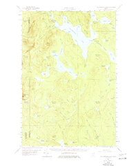
1958 Map of Caucomgomoc Lake
USGS Topo · Published 1977About this map
Caucomgomoc Lake dominates this wild expanse of North Woods terrain, serving as the central hub for an intricate system of streams and deadwaters. During this late-1950s period, the landscape remained largely defined by its township-and-range divisions, such as T 6 R 15 Wels, and a network of logging and access routes including a Private Road. Human impact on the hydrology is evident at several control points, most notably Caucomgomoc Dam and Loon Lake Dam, which managed water flow into Caucomgomoc Stream. Higher elevations like Caucomgomoc Mtn and Hurd Mtn overlook a labyrinth of smaller water bodies including Shallow Lake and Poland Pond. The presence of a Campground and Telephone Hill suggests the sparse infrastructure used by forestry workers and visitors in this remote region. Notable features like The Horserace and various deadwaters like Caribou Deadwater highlight the slow-moving, marshy nature of the area's drainage basins.
Find a feature on this map
82 named features on this map. Tap any name to fly to it.
Don’t see what you’re looking for? This feature index may not catch every label — zoom into the map to look around manually.
Map Details
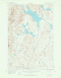
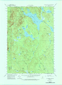
Editions of this 1958 Caucomgomoc Lake Map
4 editions found

Other maps of this area

1954 · Seboomook Lake
USGS Topo · 1:62,500

1954 · Chesuncook
USGS Topo · 1:62,500

1954 · North East Carry
USGS Topo · 1:62,500

1954 · Baker Lake
USGS Topo · 1:62,500

1954 · Caucomgomoc Lake
USGS Topo · 1:62,500

1954 · Churchill Lake
USGS Topo · 1:62,500

1954 · Allagash Lake
USGS Topo · 1:62,500

1954 · St. John Pond
USGS Topo · 1:62,500

1954 · Grant Farm
USGS Topo · 1:62,500

1954 · Presque Isle
USGS Topo · 1:250,000