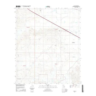
2015 Map of Allen
USGS Topo · Published 2015About this map
Allen sits at a transition point where the rising ground of King Hill meets the complex hydrology of the Natchitoches Parish basin. The landscape is defined by its winding waterways, including the significant Bayou Pierre and Tapalcat Bayou, which drain through the Old Spanish Lake Lowlands. This 2015 survey reveals a pattern of rural settlement and local connectivity maintained through a network of named parish roads such as Reed Flores Rd and Crossroads Church Rd. Local heritage is anchored by landmarks like Saint Annes Cem, while the natural drainage of Coon Slough and Middle Bayou illustrates the low-lying character of the eastern terrain. The presence of La-485 provides the primary transit artery, cutting across a land of bayous and ridges that have shaped the development of this Louisiana community.
Find a feature on this map
21 named features on this map. Tap any name to fly to it.
Don’t see what you’re looking for? This feature index may not catch every label — zoom into the map to look around manually.
Map Details
Editions of this 2015 Allen Map
This is the sole edition of this map. No revisions or reprints were ever made.
Other maps of this area

1935 · Hagewood
USGS Topo · 1:31,680

1937 · Campti NW
USGS Topo · 1:31,680

1937 · Campti SW
USGS Topo · 1:31,680

1938 · Chemard Lake
USGS Topo · 1:31,680

1938 · Hollis Creek
USGS Topo · 1:31,680

1938 · Allen
USGS Topo · 1:31,680

1938 · Lake End
USGS Topo · 1:31,680

1942 · Many
USGS Topo · 1:62,500

1943 · Many
USGS Topo · 1:62,500

1943 · Provencal
USGS Topo · 1:62,500