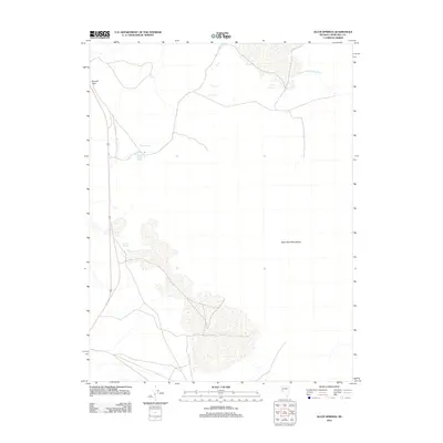
2011 Map of Allen Springs
USGS Topo · Published 2011About this map
Allen Springs and the surrounding desert landscape of Churchill County define this 2011 survey, where water sources are the primary landmarks for navigation. The presence of hydrothermal activity is noted at Lee Hot Springs, while the unappealingly named Stinking Springs sits to the south, highlighting the varied mineral content of the local water table. To the east, the extensive topography of the Blow Sand Mountains dominates the horizon, shaped by aeolian processes. This modern topographical study captures a remote portion of Nevada where travel is funneled through natural corridors like Russell Pass and across seasonal drainages such as Diamond Field Jack Wash. The map reflects a landscape where geological and hydrological features remain the most significant identifiers in an area largely devoid of dense human settlement.
Find a feature on this map
6 named features on this map. Tap any name to fly to it.
Don’t see what you’re looking for? This feature index may not catch every label — zoom into the map to look around manually.
Map Details
Editions of this 2011 Allen Springs Map
This is the sole edition of this map. No revisions or reprints were ever made.
Other maps of this area

1908 · Carson Sink
USGS Topo · 1:250,000

1910 · Carson Sink
USGS Topo · 1:250,000

1951 · Carson Lake
USGS Topo · 1:62,500

1951 · Allen Springs
USGS Topo · 1:62,500

1951 · Weber Reservoir
USGS Topo · 1:62,500

1951 · Fallon
USGS Topo · 1:62,500

1957 · Reno
USGS Topo · 1:250,000

1959 · Reno
USGS Topo · 1:250,000

1960 · Reno
USGS Topo · 1:250,000

1979 · Fallon
USGS Topo · 1:100,000