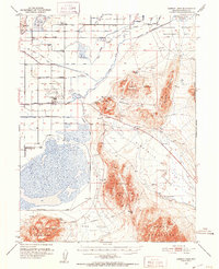
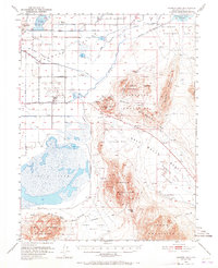
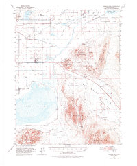
1951 Map of Carson Lake
USGS Topo · Published 1953About this map
Stillwater Wildlife Management Area and the vast Carson Lake dominate this Churchill County landscape, where the high desert meets a complex network of man-made irrigation. The intricate water system is defined by the AA Canal, Upper Paiute Canal, and the Extension Canal, reflecting an era of significant reclamation and agricultural engineering. These waterworks supported local life at the Harmon School and the settlement of Stillwater.
Find a feature on this map
48 named features on this map. Tap any name to fly to it.
Don’t see what you’re looking for? This feature index may not catch every label — zoom into the map to look around manually.
Map Details
Editions of this 1951 Carson Lake Map
3 editions found
Other maps of this area

1908 · Carson Sink
USGS Topo · 1:250,000

1910 · Carson Sink
USGS Topo · 1:250,000
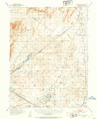
1950 · Stillwater
USGS Topo · 1:62,500
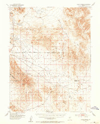
1951 · Allen Springs
USGS Topo · 1:62,500
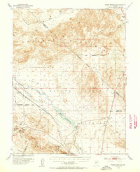
1951 · Soda Lake
USGS Topo · 1:62,500
1951 · Weber Reservoir
USGS Topo · 1:62,500
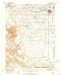
1951 · Fallon
USGS Topo · 1:62,500

1957 · Reno
USGS Topo · 1:250,000

1959 · Reno
USGS Topo · 1:250,000

1960 · Reno
USGS Topo · 1:250,000