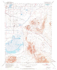
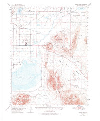
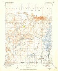
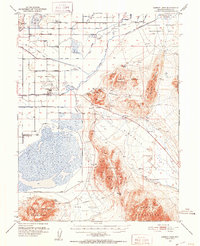
1951 Map of Carson Lake
USGS Topo · Published 1965About this map
Stillwater and the surrounding Lahontan Valley are defined by an intricate network of irrigation and drainage that contrasts sharply with the arid Salt Wells Basin to the east. This mid-century landscape reflects the heavy federal footprint in Churchill County, featuring the expansive Stillwater Wildlife Management Area and the Naval Reservation Fallon Auxiliary Air Station. For local historians, the presence of the Greenhead Duck Club and several named caves like Hidden Cave and Burnt Cave at Eetza Mtn highlight the intersection of natural history and recreational land use.
Find a feature on this map
60 named features on this map. Tap any name to fly to it.
Don’t see what you’re looking for? This feature index may not catch every label — zoom into the map to look around manually.
Map Details
Editions of this 1951 Carson Lake Map
3 editions found
Other maps of this area

1908 · Carson Sink
USGS Topo · 1:250,000

1910 · Carson Sink
USGS Topo · 1:250,000
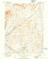
1950 · Stillwater
USGS Topo · 1:62,500
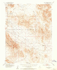
1951 · Carson Lake
USGS Topo · 1:62,500
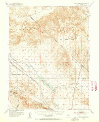
1951 · Allen Springs
USGS Topo · 1:62,500
1951 · Soda Lake
USGS Topo · 1:62,500
1951 · Weber Reservoir
USGS Topo · 1:62,500
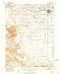
1951 · Fallon
USGS Topo · 1:62,500

1957 · Reno
USGS Topo · 1:250,000

1959 · Reno
USGS Topo · 1:250,000