
1950 Map of Stillwater
USGS Topo · Published 1952About this map
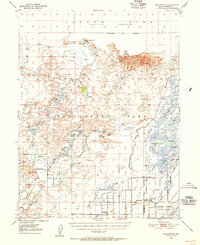
The Fallon Indian Reservation and its Fallon Indian Sub-Agency anchor the southern portion of this desert landscape, where water management is the defining human influence. Established irrigation and drainage systems, including the Vencil Drain and Mussi Drain, attempt to tame the Carson River as it flows toward the expansive Alkali Flat. This 1950s survey documents a complex network of wetlands and seasonal lakes such as Big Indian Lake and Little Cottonwood Lake, which supported local recreation at the Canvasback Gun Club. Human settlement is sparse and tied to these water sources, from the Stillwater School and local cemetery to isolated points like Leter Ranch and Millens Landing. North of the Stillwater Cutoff, the terrain transitions into shifting Sand Dunes and the high ground of Pelican Island, illustrating the stark contrast between reclaimed agricultural land and the original high-desert sink.
Find a feature on this map
57 named features on this map. Tap any name to fly to it.
Don’t see what you’re looking for? This feature index may not catch every label — zoom into the map to look around manually.
Map Details
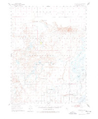
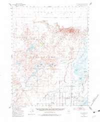
Editions of this 1950 Stillwater Map
4 editions found
Other maps of this area

1908 · Carson Sink
USGS Topo · 1:250,000

1910 · Carson Sink
USGS Topo · 1:250,000

1951 · Carson Lake
USGS Topo · 1:62,500

1951 · Soda Lake
USGS Topo · 1:62,500

1951 · Carson Sink
USGS Topo · 1:62,500

1951 · Desert Peak
USGS Topo · 1:62,500

1951 · Fallon
USGS Topo · 1:62,500

1957 · Reno
USGS Topo · 1:250,000

1959 · Reno
USGS Topo · 1:250,000

1960 · Reno
USGS Topo · 1:250,000