
1951 Map of Carson Sink
USGS Topo · Published 1953About this map
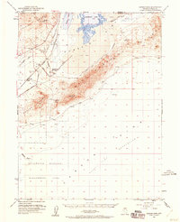
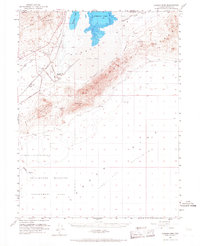
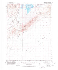
West Humboldt Range and the Trinity Range frame the desolate corridor of the Carson Sink during this early 1950s survey. The landscape is defined by the convergence of the Humboldt River into the sprawling Humboldt Lake bed, a terminal basin where water evaporates across the Alkali Flat. Evidence of early westward migration and infrastructure is prominent, with the Old California Trail Road and the Old Central Pacific RR Grade tracing historical pathways through the desert.
Find a feature on this map
27 named features on this map. Tap any name to fly to it.
Don’t see what you’re looking for? This feature index may not catch every label — zoom into the map to look around manually.
Map Details
Editions of this 1951 Carson Sink Map
4 editions found
Other maps of this area

1908 · Carson Sink
USGS Topo · 1:250,000

1910 · Carson Sink
USGS Topo · 1:250,000

1931 · Lovelock
USGS Topo · 1:250,000

1935 · Lovelock
USGS Topo · 1:250,000

1950 · Stillwater
USGS Topo · 1:62,500

1951 · Soda Lake
USGS Topo · 1:62,500

1951 · Desert Peak
USGS Topo · 1:62,500

1955 · Lovelock
USGS Topo · 1:250,000

1956 · Toulon
USGS Topo · 1:62,500

1956 · Lovelock
USGS Topo · 1:62,500