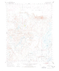
1950 Map of Stillwater
USGS Topo · Published 1978About this map
The Carson Sink dominates the northern reaches of this mid-century survey, where the Carson River terminates in a series of alkali flats and ephemeral lakes. The settlement at Stillwater serves as a hub for a complex irrigation network, evidenced by the dense grid of waterways including the Stillwater Irrigation Drain and Vencil Drain. This hydrological system supports both local agriculture and the protected wetlands of the Stillwater National Wildlife Refuge, which provides a managed contrast to the surrounding Sand Dunes and Alkali Flat.
Find a feature on this map
51 named features on this map. Tap any name to fly to it.
Don’t see what you’re looking for? This feature index may not catch every label — zoom into the map to look around manually.
Map Details
Editions of this 1950 Stillwater Map
4 editions found
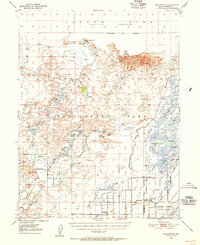
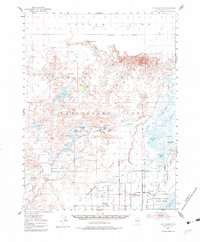
Other maps of this area

1908 · Carson Sink
USGS Topo · 1:250,000

1910 · Carson Sink
USGS Topo · 1:250,000

1950 · Stillwater
USGS Topo · 1:62,500

1951 · Carson Lake
USGS Topo · 1:62,500

1951 · Soda Lake
USGS Topo · 1:62,500

1951 · Carson Sink
USGS Topo · 1:62,500

1951 · Desert Peak
USGS Topo · 1:62,500

1951 · Fallon
USGS Topo · 1:62,500

1957 · Reno
USGS Topo · 1:250,000

1959 · Reno
USGS Topo · 1:250,000